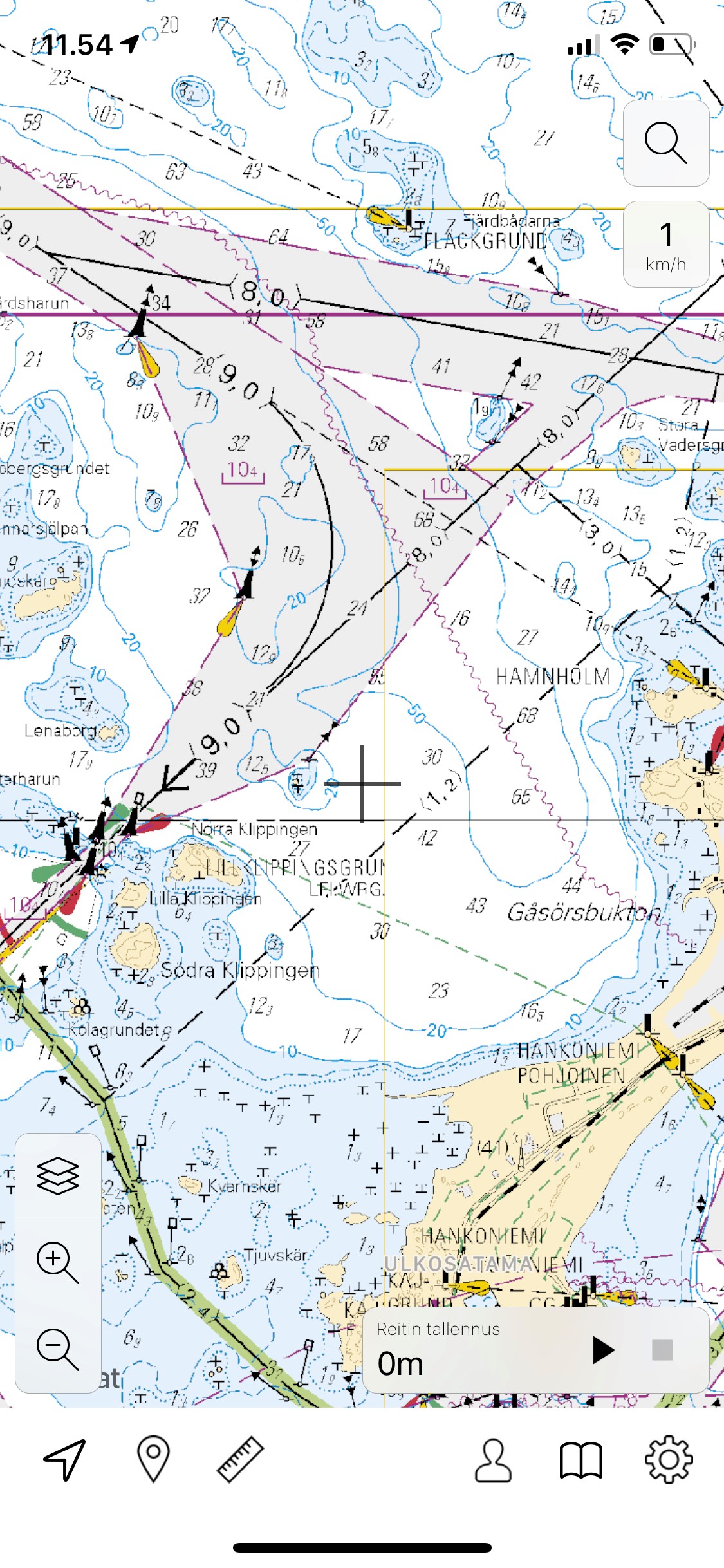
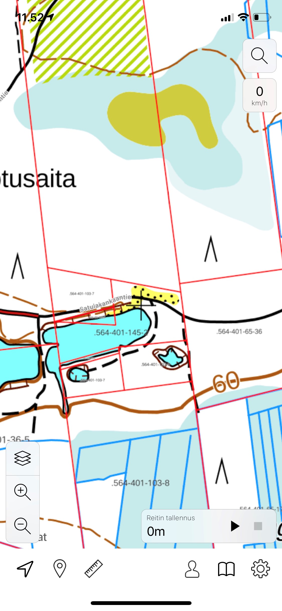
Topo Maps – Finland app offers the most accurate topographic and nautical maps for navigating on land and at sea. You can also see property information on the map and get depth information about certain waterways. The app supports many different coordinate systems.
Topo Maps – Finland has many useful functions such as:
- Route managing
- Save routes so you can follow the same route later and to get additional information about your routes. You can also export them and receive routes your friends send to you.
- Base camp -feature
- Save the most important place or your starting point as "base camp" so it's easy to navigate back
- Location sharing
- Share your location to your friends or look at your friends' locations
- Offline maps
- The app downloads all map tiles to your device so you can navigate even without internet connection. You can also download a selected map area.
- Measuring distance and altitude
- Measure route distances, distances between places and altitudes
If you're planning a trip to Finland's neighbouring countries, Sweden or Norway, you can also buy topographic maps for those countries!
Topo Maps – Finland uses open data from National Land Survey of Finland and Traficom.
The app is available in many different languages: English, Finnish, Norwegian Bokmål and Swedish. The app works on Apple devices and you have to pay a small fee to use it.