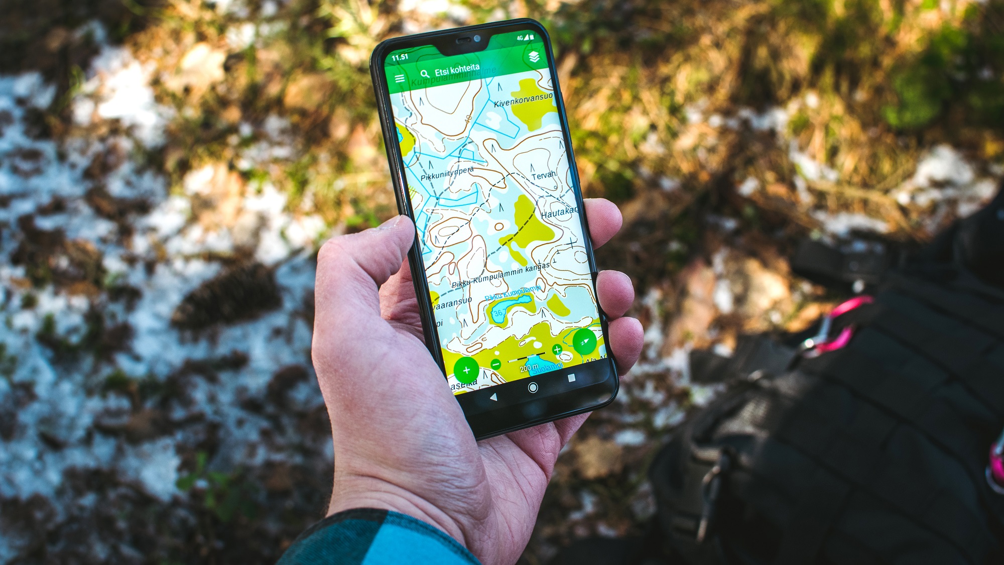
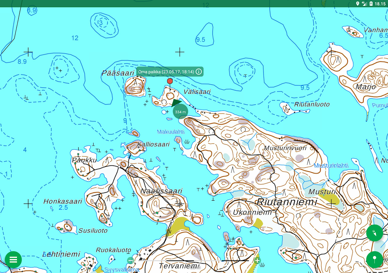
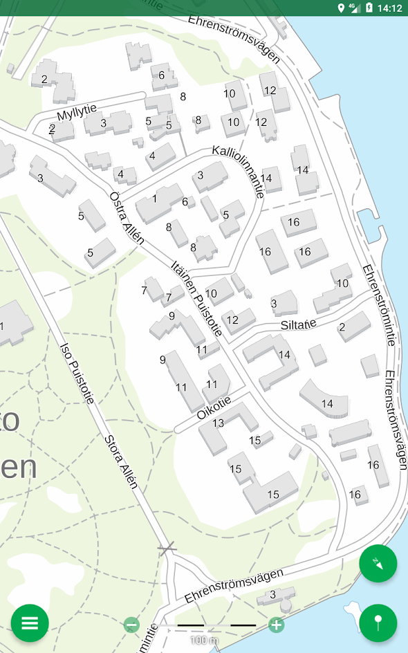
Wherever you go, Karttaselain provides you the most precise maps of the area.
Karttaselain offers you many interesting maps such as
- topographic maps
- nautical charts
- aerial maps.
There are also a lot of useful features:
- GPS tracking for you and your pet
- Saving places of interest and own routes
- Planning routes
- Offline maps
Karttaselain uses open data from National Land Survey of Finland and Finnish Forest Centre.
This showcase is only available in Finnish but you can view the maps even if you don't know the language.